Sacramento/San Joaquin Delta 3D Mapping Project
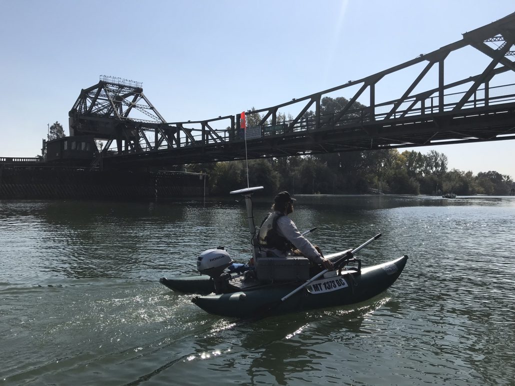
In October of 2017, the Freshwater Map team traveled to Sacramento, California to take detailed measurements of the Sacramento River from Clarksburg to Isleton, about 21 river miles. We measured the bathymetry, 3D flow, temperature and hundreds of other parameters over the same reach on three consecutive days to determine how the river changed over the tide cycle. On the fourth day the team measured up and down 10 miles of Elk Slough, which showed some very interesting ground-water/surface water characteristics due, we suspect, to levee permeability.
Over the four days of data collection each of our eight river technician’s systems pinged twice each second. The total dataset quite large (over 1.8 million records). A link to a .pdf of the full report is below.
Please contact us with any questions.
dane@freshwatermap
Technical Report – Sacramento River Delta 3D mapping project

