Flathead Lake Habitat Enhancement
North shore Flathead Lake at mouth of Flathead river
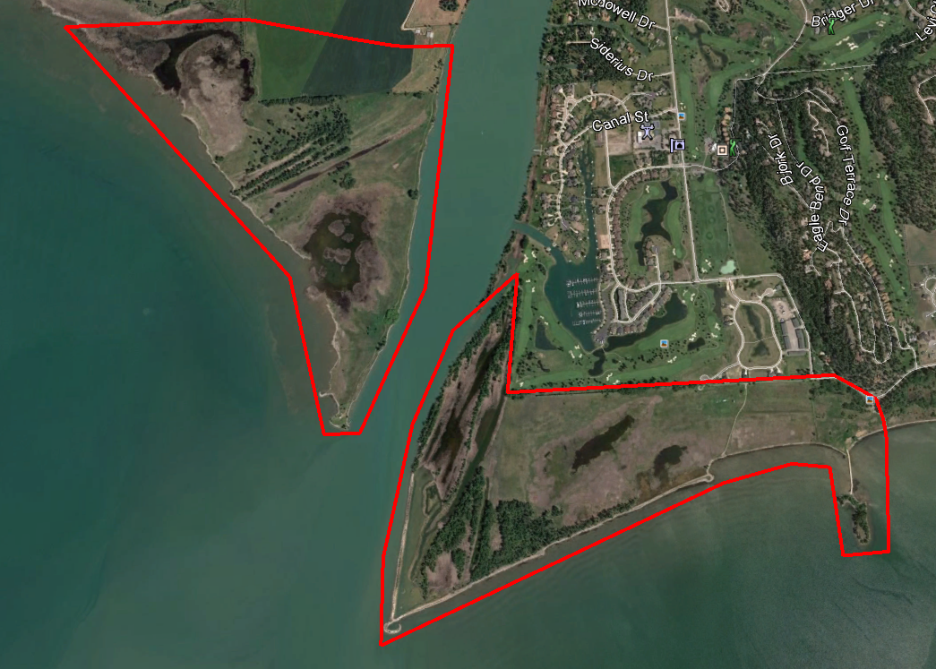
Freshwater map has been working on Flathead Lake for many years. Our latest project focused on erosion control at the north end. High water levels during winter storms had been causing erosion on the north shore as southern wind-driven waves hit the gravel shoreline. Freshwater Map designed and managed the installation of dynamic revetments on the shoreline that reversed the erosion caused by the wind-wave action. After installation, woody debris and other organic flotsam has deposited on the shoreline, which, through continued wave action, has broken down into permeable peat. The permeable gravel and peat has accreted the shoreline while still providing sufficient seepage and over-topping to fill a shallow-water rearing habitat and wetland behind the shoreline.
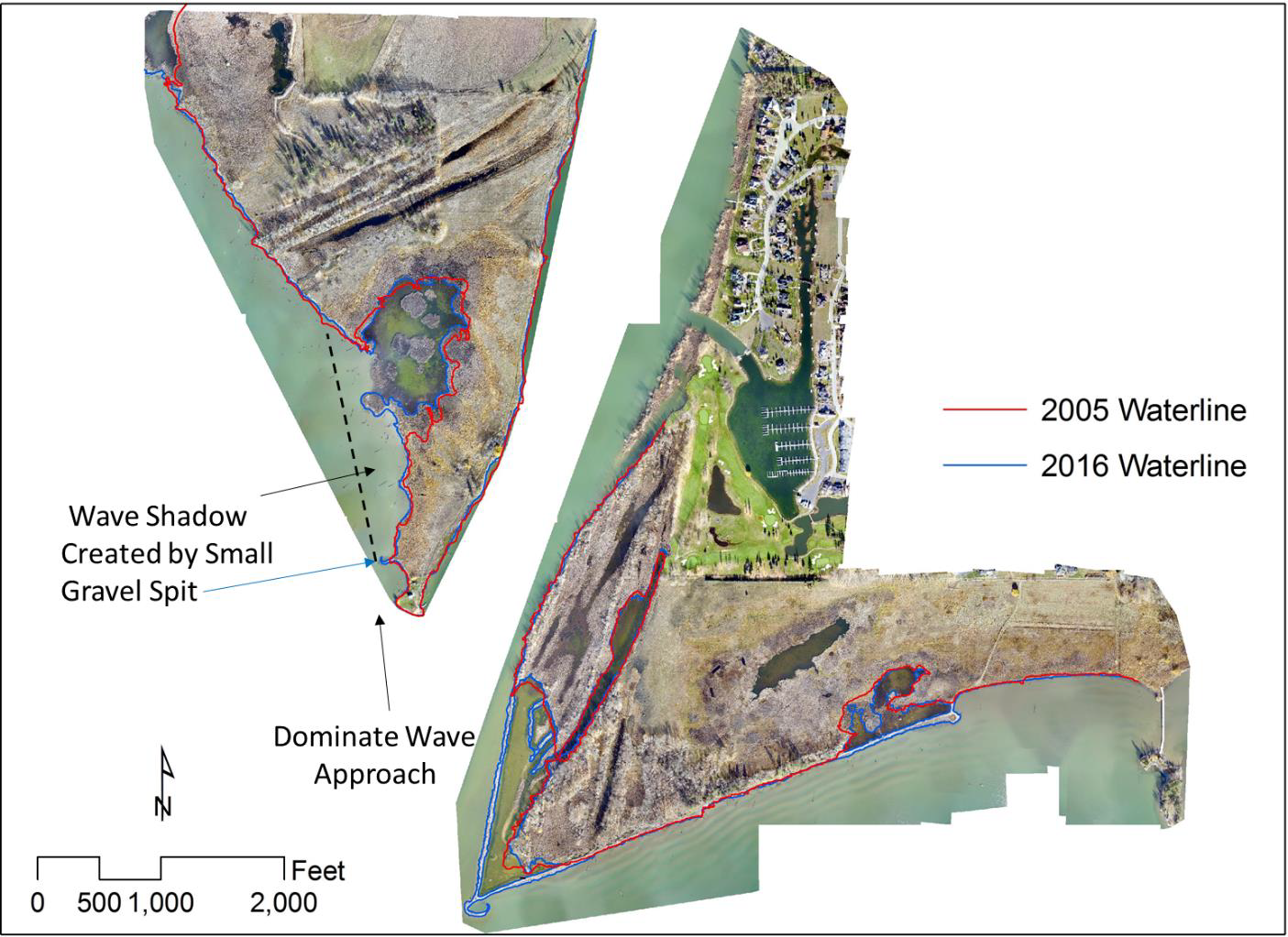
Arial photos with the 2005 and 2016 waterlines shown. The large (5.46 acres, also shown as orange areas in figure 5) creation of new wetland habitat on the west side of the river is due to the small gravel spit constructed near blue arrow. Similar new habitat has been created (5.16 acres also shown as orange areas in figure 5) behind the offshore structures and along the shores further to the east.
Design options considered by the landowner included shoreline hardening at a much higher cost that was much more difficult to install and would have resulted in many unintended consequences due to wave reflection off the hardened shoreline and no wetland habitat improvements.
This is a single example of Freshwater Maps work on Flathead Lake in Montana. Over the years, we have designed and built over 2 miles of protective shoreline, all of which utilize dynamic structures made of natural materials. Our designs enable the wind and wave action to do the work of building effective protection of property while enhancing habitat.
Contact us to discuss removal of shoreline hardening to enhance habitat and shoreline protection. (406) 420-2295

